
Almost a month ago, I went out for pictures, but this time, I wasn’t alone 🙂
The main idea of this photo outing was to photograph a landscape with some animals as silhouettes in the forefront. I had done some research, marked the way there and have a look in street view in Google Maps. That research was done minutes prior of adventure (1st mistake !) Combined with space-time issues I had not made plan for a second destination just in case… Driving to the first destination, we saw hot air balloons landing in the fields around the main road to my first destination. With the sun going down, it was difficult not to stop and take pictures of that event! (2nd mistake).
 When the photos of these balloons were done, we headed to our first intended destination. A big surprise was waiting: the fence shown on Google Maps was no longer present and had been replaced by a modern barn… No photos and… no plan B. It was a turn around and head back home situation 🙁
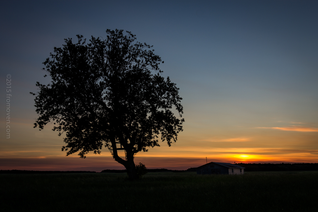
For the drive back, I chose a different road. It lead me to hook to a road I had use in the past to hunt for pictures. Arriving at the intersection, my passenger/co-pilote/photographer noticed a big tree in the field facing us. We stopped and watched the sun already down over the horizon. There were just enough clouds the have some texture in the sky, covering the orange gold of the sunset.
It was a consolation price that ill prepared expedition !